


Nikon D810
Nikon AF-S NIKKOR 24-120mm f/4G ED Lens
Airforce Throughway view of Mount Tamalpais Fog
@misslexy76
Plan
Overview
Skill level
Easy
Accessbility
Public Location
Hours
Sunrise (but not before 7:00am) to sunset
Fee
$8 vehicle fee for day use
Pack
- Telephoto lens (80mm)
- Tripod
- Neutral Density Filter
How to get there
N37° 55' 21.9036"W122° 36' 15.9984"
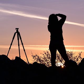
I took this photograph from Airforce Throughway. It’s at the top of Mountain Top Trail in Mount Tamalpais. I faced west towards the rolling hills, and if you’re lucky, you’ll see fog!
I used my GPS to route myself to the Mountain Home Inn on Panoramic Drive. Keep driving past it and you will pass the gate into Tamalpais Park. When the road splits (at a parking lot) go to the right towards the Mountain Theater.
Soon there will be a sign for the Department of Transportation FAA parking lot on the left. You cannot park in the lot but you can park just outside the lot off of the main road.
Walk around the gate to the left, up Mountain Top Trail. Stay to the right on the road beyond the gate when it splits. At the top you will see the old remains of a structural foundation — possibly military. Find your perfect spot to photograph from!
You can also drive up to the destination.
Tips
Get more with
explorest pro
Learn more about the locations and
how to get the best pictures including:
Best times to go
Current weather conditions and times around twilight
Field tips
Gear used & photo settings
What to do nearby

Locations nearby


