
DJI Mavic 3
Built-in Lens
Siesta Key North Bridge
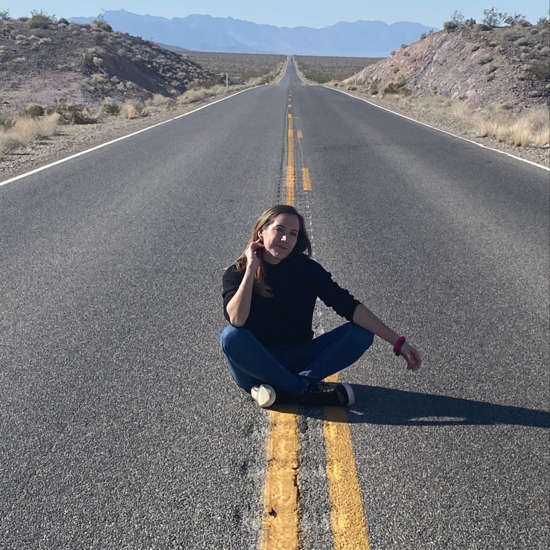
@marinagoritsas
Siesta Key North Bridge is more than mere infrastructure; it's a stage for the daily maritime parade, a crossroad of journeying boats and the still waters. The drone’s eye captures this harmonious interaction, as the water's surface reflects the gentle kiss of the setting sun, painting a path of light that leads to the vibrant life of Siesta Key and beyond.
(before flying a drone, check and follow local drone regulations and permit requirements.)
Plan
Overview
Skill level
Moderate
Accessbility
Public Location
Hours
Anytime
Fee
Free
Pack
- Drone
- Kayak (optional)
- Hammock (optional)
How to get there
N27° 18' 08.3736"W82° 32' 50.5212"
Your gateway to this majestic view of Siesta Key North Bridge starts with a drive to Siesta Key, accessible via the Tamiami Trail (US-41).
As you leave US-41 to turn onto Siesta Drive, you'll see the bridge in front of you. Both the east and the west sides of the bridge have free parking. If you park on the west side, you can launch your drone from Nora Patterson Bay Island Park which goes all the way around and under the bridge.
Fly your drone over the bridge, toward (27.302680, -82.544650) to get a similar view to the photo.
Tips
Get more with
explorest pro
Learn more about the locations and
how to get the best pictures including:
Best times to go
Current weather conditions and times around twilight
Field tips
Gear used & photo settings
What to do nearby

Locations nearby


